
PEOPLE living along a stretch of the West Somerset coast are being warned to ‘act now’ as flood warnings are in place.
The Environment Agency has issued the warning due to this morning’s high tides, with flooding most likely to affect people this morning.
But a threat of flooding remains and the Environment Agency said it will “continue to monitor the situation and reissue alerts/warnings if necessary.”
 Food hygiene ratings handed to four Somerset establishments
.jpeg?width=209&height=140&crop=209:145,smart&quality=75) Somerset Council lets new four-year contract to manage trees and tackle ash dieback
Somerset Council lets new four-year contract to manage trees and tackle ash dieback MP fears Government trade-off for SEND provision would gut budget for schools
 Health and safety prosecution starts against three Hinkley C firms after fatality
Porlock
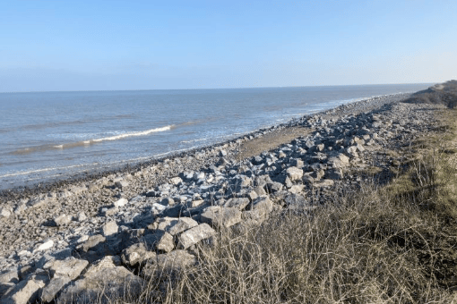
Flood warning for Somerset coast at Porlock Weir
The Environment Agency said: “This Flood Warning has been issued due to the high tide forecast at 7.45am today (March 12).
“Areas most at risk include the coastline between Gore Point and Hurlstone Point including properties on the lockside, businesses around the Harbour Masters office, Gibraltar Cottages and other low lying properties on the B3225 at Porlock Weir..
“Flooding is expected at the coastline between Gore Point and Hurlstone Point including properties on the lockside, businesses around the Harbour Masters office, Gibraltar Cottages and other low lying properties on the B3225 at Porlock Weir. between 7.45am and 8.15am.
“The forecast is for rain in the early hours of Tuesday morning.
“We will continue to monitor the forecast and re-issue this warning if necessary.
“Consider activating any property flood protection products and plan driving routes to coastal roads, which may be flooded.
“This message will be updated by 3pm today, or as the situation changes.
Flood warning area: Coastline between Gore Point and Hurlstone Point including properties on the lockside, businesses around the Harbour Masters office, Gibraltar Cottages and other low lying properties on the B3225 at Porlock Weir.
Minehead
Flood warning for Somerset coast at Dunster beaches, seafront and chalet area
The Environment Agency states on the gov.uk website: “This Flood Warning has been issued due to the high tide forecast at 8am today (March 12).
“Areas most at risk include the coastline between The Warren and Sea Lane End including Dunster Beach Chalets. Flooding is expected at the coastline between The Warren and Sea Lane End including Dunster Beach Chalets. between 8am and 8.15am.
“We will continue to monitor the forecast and re-issue this alert/warning if necessary. Consider activating any property flood protection products.
“Plan driving routes to coastal roads, which may be flooded. This message will be updated by 3pm or as the situation changes.”
Flood warning area: Coastline between The Warren and Sea Lane End including Dunster Beach Chalets.
Lynmouth
Flood warning for North Coast at Lynmouth
“Flooding is expected for Lynmouth over the high tide this morning (Tuesday, March 12).
“High water at Ilfracombe is at 7.15am, times of high water will vary along the coast.
“This may cause localised standing water on roads near The Esplanade, Riverside Road and Lynmouth Street. Do not drive through flood water.
“The spring tides peak on Tuesday morning but the wave heights will increase for Wednesday mornings high tide. Coastal conditions should begin to ease for Wednesday evenings high tide. We are continuing to monitor the situation and will issue updates if the situation changes.”
Flood warning area: Low lying or exposed parts of Lynmouth.
Comments
This article has no comments yet. Be the first to leave a comment.